
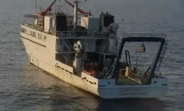
GFL aims at a targeted survey of the coastal regions of the northern Indian Ocean (Bay of Bengal in the first phase, expanding towards the Arabian Sea in the second phase) using state-of-the-art physical oceanography methods to characterize upper ocean dynamics and mixing. The centre will work with the National Institute of Ocean Technology (NIOT) and the Indian National Centre for Ocean Information Services (INCOIS) on field campaigns. A key innovation that GFL is bringing about is the use of unmanned aerial systems (UASs) for field measurements. Using UASs in atmospheric and oceanographic applications is novel and has a high potential to advance physical oceanography. Measurements from aerial platforms operating at an altitude of a km or two represent an invaluable intermediary between satellite imaging and in-situ measurements.
At GFL, we perform coupled ocean-atmosphere climate modelling (sensitivity experiments and data assimilation) based on inputs from field experiments and fine-scale process modelling to progress towards a better understanding of the predictive capabilities of climate models. The centre will work with National Centre for Medium Range Weather Forecasting (NCMRWF) for this activity.
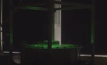
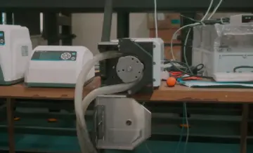
Another thrust area of GFL is fine-scale process modelling in the lab, via experiments, simulations and theoretical modelling, of small-scale processes influencing the upper ocean structure in the northern Indian Ocean. This would advance our understanding of various dynamic and thermodynamic processes influencing air-sea interactions in the northern Indian Ocean and, thus, the relative importance of accurately parameterizing them in climate models.